Exhibition Notice:We will be exhibiting at the UK Mining Conference 2026 in Cornwall from 8 – 12 June. Orders may still be placed online; processing and dispatch will recommence from 16 June.
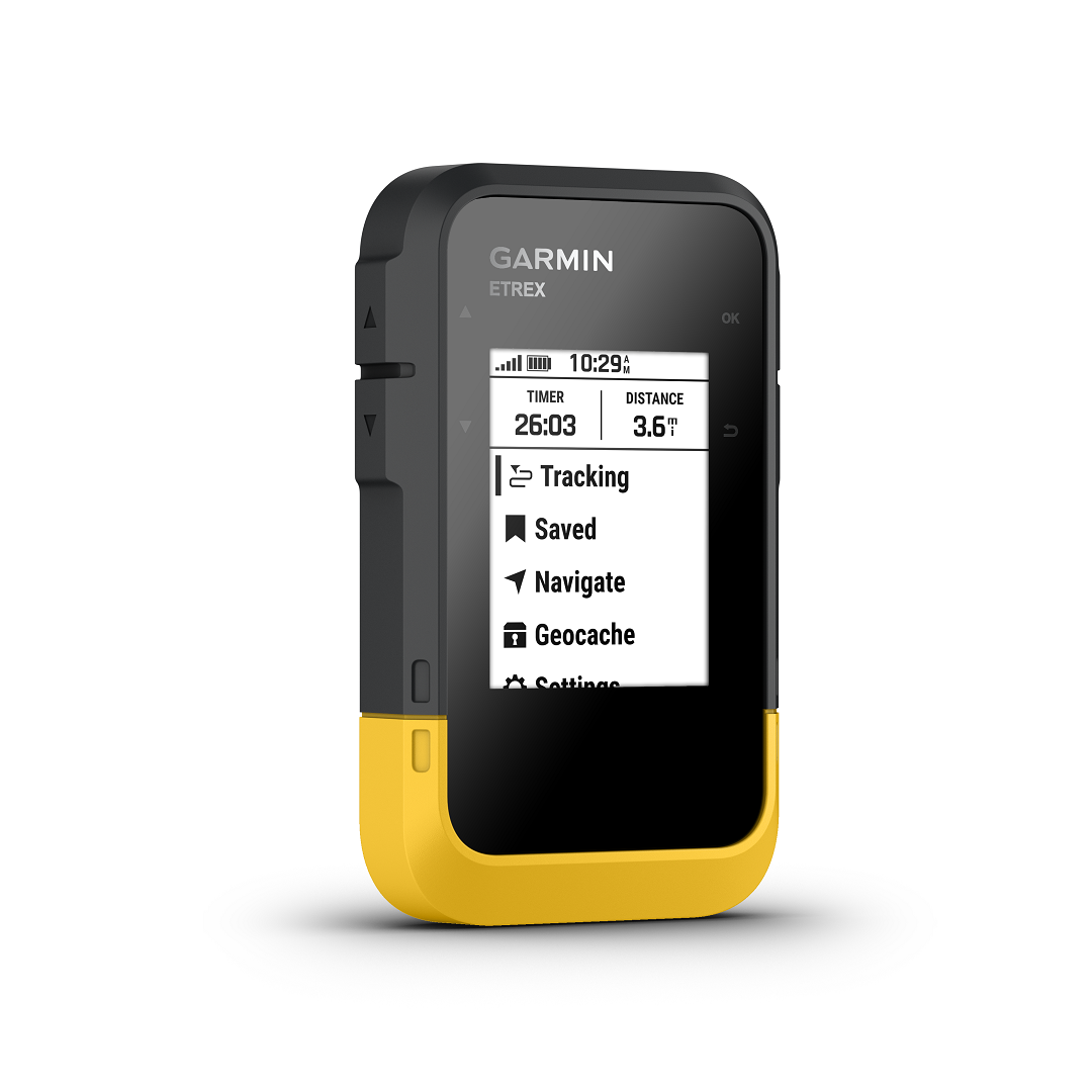
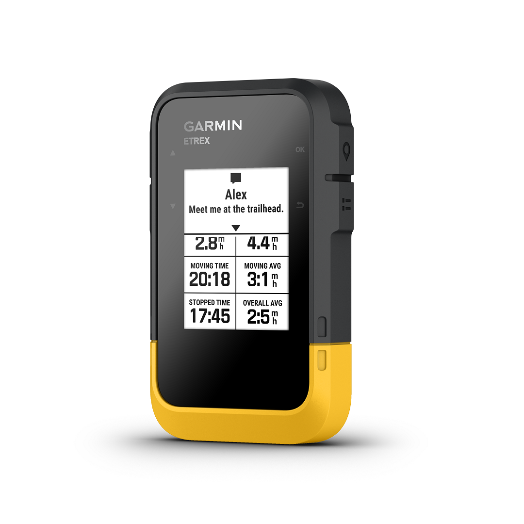
Garmin eTrex SE GPS is a handheld outdoor navigator with the ability to view waypoints, track your location on a 2.2-inch screen, and is waterproof. With the ability for geocaching, and real-time weather updates when connected to the Garmin Explore App. The eTrex SE also features a digital compass for bearings, 168 hours in standard mode; 1,800 hours in expedition mode on two AA batteries. You can also store up to 1000 waypoints, 50 courses, or 200 activities and data with its 28 MB memory. Additionally, tracks and routes may also be stored. Excellent for geological fieldwork, including mapping and mineral exploration. A small size, handy, waterproof unit boasting a host of features.
Garmin eTrex SE GPS is an outdoor handheld navigator which a host of functions for a variety of users. As standard it features excellent battery life, lasting up to 7 days, (depending on usage). Running off of just two AA batteries (not included). The operating system lets you view waypoints, track your location and find your way back to favourite spots on the 2.2” high-resolution screen. Of which is 240 x 320 pixels and is transflective, monochrome. Therefore it will not be affected by sunlight glare. It also provides you with a digital compass so that you can follow your bearing. Further providing an accurate heading even when stationary. The unit performs geocache functions, which can connect to Garmins, Geocaching Live, including descriptions, logs, and hints, as well as regular updates.
GPSs commonly in use on mineral exploration projects and geological mapping surveys. Providing you with an efficient, highly accurate method to obtain your bearings. With the ability to quickly obtain a grid reference within a meter of accuracy. Such data is crucial on such projects, as they allow not only you. But geologists at later dates to return to the same spot should further site investigation be needed. Garmin eTrex SE GPS is highly accurate, thanks to access to multiple global navigation satellite systems (GPS, GLONASS, Galileo, BeiDou, and QZSS). Further allowing you to track in more challenging environments than GPS alone.
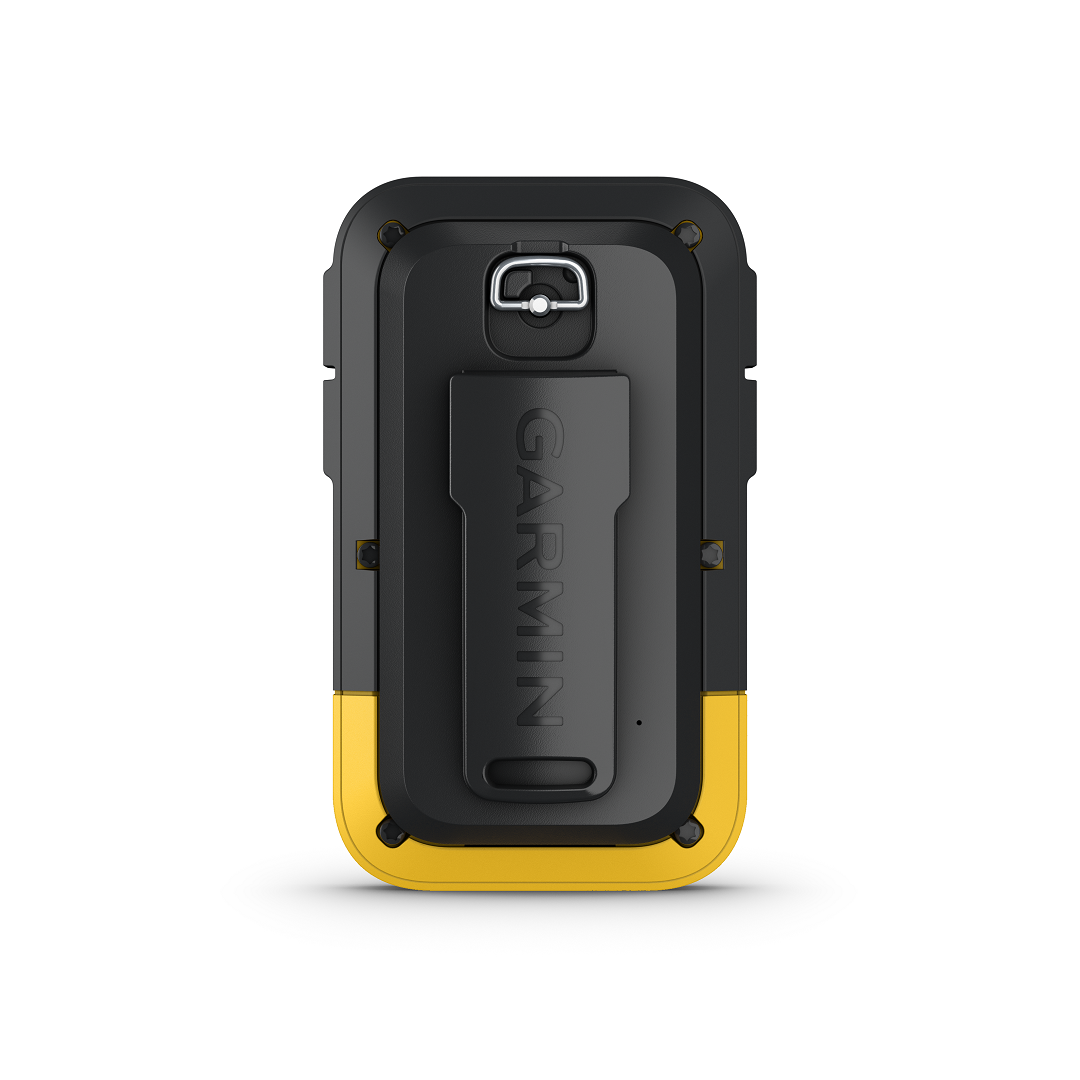
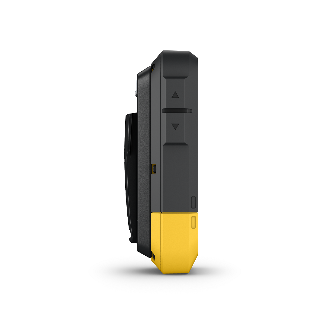
The eTrex SE is the spiritual successor to the famous, eTrex 10. Noted for its bright yellow housing, the SE also sports this. Making it easy to spot in most environments. It has excellent battery life, a must when in field conditions where access to power is not always available. Additionally, optional features by Garmin, such as the Explore™ App, allow the device to provide you with real-time weather forecasts. All of this is with a handy, handheld unit, measuring only 6.1 x 10.0 x 3.3 cm, and weighing no more than 157 grams when loaded with batteries. The unit is further suitable for field conditions, with its IP7X water rating. As it withstands incidental exposure to water of up to 1 meter for up to 30 minutes. Additionally, it will be just fine from splashes, rain or snow and showering.