£352.00 – £418.00 ex VAT
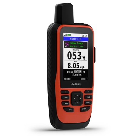
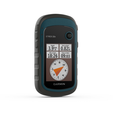
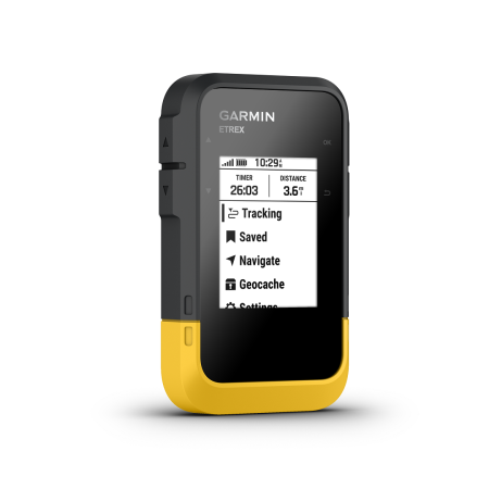
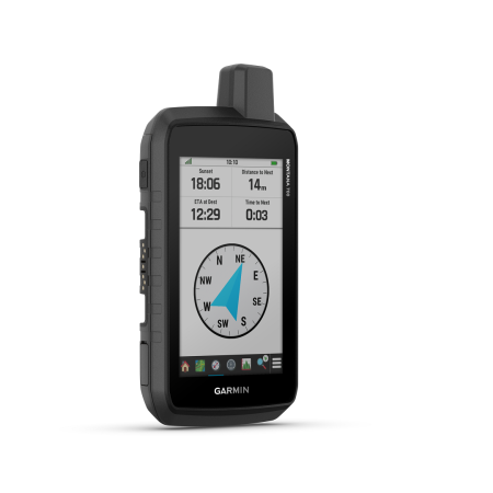
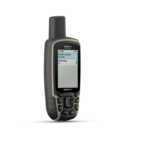
Garmin GPSMAP 67 GPS is an all-round, rugged, efficient, and accurate navigation unit with a high-sensitivity receiver. It uses multiband technology to connect to numerous satellite networks for quick and accurate location and bearings. The unit is IPX7-rated waterproof. Features a wide 3 inch colour screen that can be viewed in sunlight and has an impressive 16GB of memory for data storage. Such as updates, routes, map markers, geocaches, and more. This can be further upgraded with the addition of (at max) 32GB microSD card. The 65s model also provides users with a 3-axis tilt compass for accurate and easy navigation, a must-have in challenging environments. As well as a barometer providing you with current weather conditions and an altimeter which lets you know your current height above sea level. All of these are within a comfortable-to-use, hand-held navigation unit.
Garmin GPSMAP 67 GPS is ideal for challenging locations, such as those exploration geologists will find themselves in. Particularly during mineral exploration projects and surveys. A rugged, waterproof, button-operated GPS with a high-sensitivity receive and colour screen. The unit offers a range of beneficial features for outdoorsmen or those who undertake work outdoors.
The 67 GPSs come out of the box featuring a generous 3-inch color screen with transflective properties. This enables users to view the display even in the sun without glare. Thanks to an internal lithium battery, you can expect up to 180 hours of use in default mode, however in expedition mode. This can be extended to 840 hours, a must-have on sites lacking power for recharging the battery. Additionally, it provides a moderate 16 GB of memory as standard, but you can expand this with a microSD™ card (32 GB max version). With this addition, you can store more data, including routes, waypoints, tracks, locations, map updates, geocaches, and so on.
As well as the above, the 67 GPS also comes as standard with multi-band technology. It will lock onto a number of satellite networks to give you the fastest and most accurate readings and grid references. (GPS, GLONASS, Galileo, QZSS, and IRNSS). This can mean all the difference for those in more unexplored terrain, miles from the nearest community, or even roads.
Additionally, the 67 standard unit also comes with features that are often add-ons to previous models. A barometric altimeter enables you to determine your height and current air pressure conditions. As well as a 3-axis tilt-compensated compass that provides bearings and on-the-go directional navigation.
Garmin GPSMAP 67 GPS is available in two versions. the 67 and 67i. The 67 is the main version and comes complete with all benefits and features explained here plus more. The 67i version, however, also comes with the addition of Garmins, inReach technology. With a subscription to the service. (See, HERE for further details). You can send and receive text messages either to other phones or other GPS users with a compatible model. Exchange data and details between units. Send and receive waypoints, set up routes, and plan maps. Additionally, you can trigger an SOS signal, depending on your area, which will notify the nearest rescue teams to assist and come to your aid. This is all processed through the Iridium satellite network.
The unit packs all of the above features and more into a comfortable-to-use hand-held navigation unit. Measuring only 6.2 x 16.3 x 3.5 cm in size and a total weight of 230 grams. It is no burden to carry but provides benefits to your outdoor activities, mapping, and mineral exploration projects that cannot be ignored. Including a 240 x 400 pixels, Transflective colour TFT screen which can be viewed even in the glare of the sun. Long-life rechargeable lithium battery, included. IPX7 water rating, upto a meter in depth for 30 minutes as well as also being thermal and shock proof.
All of the above positives come within a hardy, waterproof outdoor casing. Made to take the brunt of whatever you throw at it when outdoors or in the field. For all of its features, it is fairly compact at only 6.1 x 16.0 x 3.6 cm and weighs 217 grams, including batteries. It features a 2.6-inch transflective, 65K colour TFT screen with 160 x 240 pixels. This provides you with a high-quality colour display that’s easy to read, whether it’s rain or shine. The casing is tough plastic and rubber, with an IPX7 water rating. Meaning it can withstand incidental exposure to water of up to 1 metre for up to 30 minutes. Therefore, it will easily operate following splashes or in the rain or snow. Although the memory as standard is sufficient, at 16GB, you can expand this further 32GB if required. Allowing for thousands of maps, routes, markers, satellite imagery and data to be stored within the palm of your hand.
The GPSMAP 67 GPS is an extremely versatile, accurate, and tough navigation unit. An excellent receiver with connection to multiple satellite networks, colour screen hard casing, generous data storage, and connectivity to other devices makes it the perfect ‘all-rounder’ of GPSs. For this reason, it has seen use in a range of areas outside of just hiking, tracking, and the outdoors. But also on mineral exploration projects, drilling sites, geological mapping as well as other earth science areas. Such as ecology, geography, anthropology, and more. The data it can provide is crucial to your project and having trust in such a device is important. The 67i version brings even more to the table with its real-time satellite communications such as calls, text messages, SOS signals and more. Garmin carries with it a recognizable brand name that is trusted the world over and it will not fail you.
GPSMAP 67 Showcase
