Exhibition Notice:We will be exhibiting at the UK Mining Conference 2026 in Cornwall from 8 – 12 June. Orders may still be placed online; processing and dispatch will recommence from 16 June.
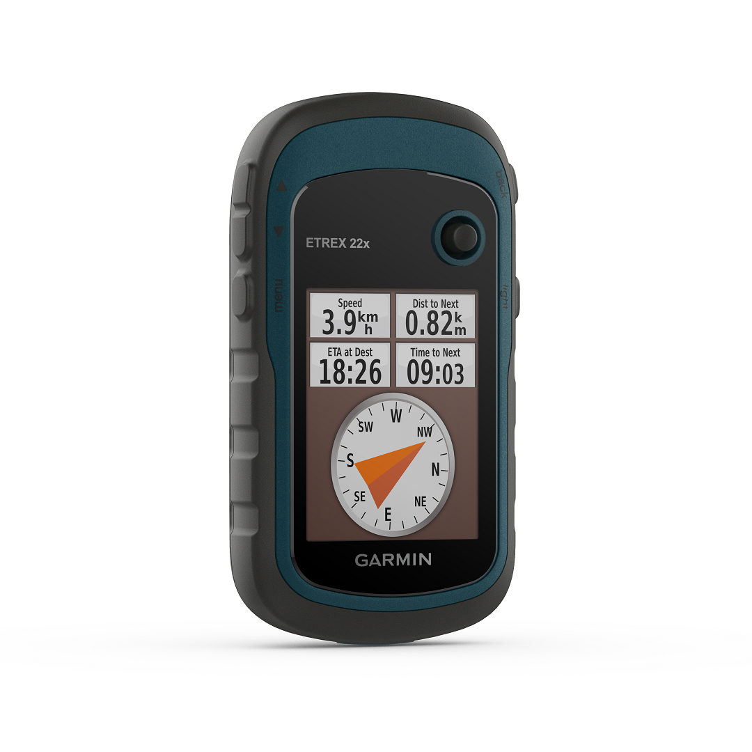
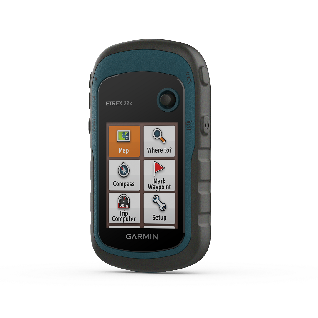
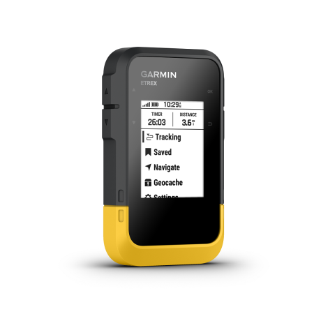
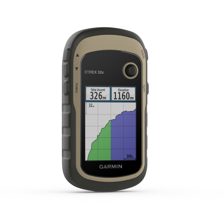
Garmin eTrex 22x GPS is a colour screen handheld outdoor navigator with the ability to view waypoints, track your location. Featuring a waterproof unit with the ability for geocaching, GPS compass, and satellite imagery function (with a subscription). The eTrex 22x runs off of 2 AA batteries which can last for up to 25 hours in GPS mode. You can also store waypoints, courses, and routes, or activities and data. Excellent for geological fieldwork, including mapping and mineral exploration. The color screen allows for an easier understanding of your environment and surroundings. Particularly useful when surveys are undertaken in remote areas.
Specifications:
Dimensions: 5.4 x 10.3 x 3.3 cm
Weight: 141.7 g with batteries
Screen size: 3.3 cm x 4.4 cm
Resolution: 240 x 320 pixels
Display: 2.2″ transflective, 65K colour TFT
Water rating: IPX7
Power: 2 x AA batteries. Either NimH or lithium rechargeable are suitable
Connections: 1x mini USB
Memory/History: 8GB with an expandable option via SD card.
Garmin eTrex 22x GPS is an outdoor handheld navigator. Next up from the eTrex SE, which features a colour screen in addition to a host of other functions for a variety of users. Out of the box, it offers excellent battery life. Up to 25 hours when in GPS mode off of just two AA batteries (not included). The operating system lets you view waypoints, track your location and find your way back to favorite spots. All of this is displayed on a 2.2” high-resolution screen, anti-glare colour screen. It also provides you with a digital compass so that you can follow your bearing whilst you are moving. The unit performs geocache functions, which can connect to Garmins, Geocaching Live, including descriptions, logs, and hints, as well as regular updates.
GPSs commonly in use on mineral exploration projects and geological mapping surveys. They provide geologists with an efficient, highly accurate method to obtain your bearings. With the ability to quickly seek a grid reference within a meter of accuracy. Such data is crucial on projects, as they allow not only you. But geologists at later dates to return to the same spot should further site investigation be needed. The Garmin eTrex 22x GPS is highly accurate. Thanks to its high sensitivity receiver and access to both GPS and GLONASS satellite systems. Further allowing you to track in more challenging environments than GPS alone.
The eTrex 22x is the successor to the famous, eTrex 10. It boasts excellent battery life for a colour screen GPS, a must when in field conditions where access to power is not always available. The device comes with TopoActive Europe; routable maps. Additionally, you may add further maps, points, routes, and data. By using the sd card function and expanding the storage space. Further to all of this. By subscription, you may also utilise a satellite imagery function, overloading such details over maps for a clearer view of your location and surroundings.
All of this is within a handy, handheld unit, measuring only 5.4 x 10.3 x 3.3 cm, and weighing no more than 142 grams when loaded with batteries. The unit is further suitable for field conditions, with its IP7X water rating. As it withstands incidental exposure to water of up to 1 meter for up to 30 minutes. Additionally, it will be just fine from splashes, rain or snow and showering.