- Home
- Shop
- Drilling and Sampling
- Rock Chip Trays
- Site Marking Equipment
- Geological Sampling Bags
- Geological Sample Ticket Books and Tags
- Core Saws, Drills and Accessories
- Exploration Tools and Equipment
- Field Stationary and Mapping Supplies
- Geotechnical Equipment
- Geological Hammers
- Hand Lenses and Magnifiers
- Measuring and Marking
- Lab and Assay Equipment
- Safety and PPE
Drilling & Sampling
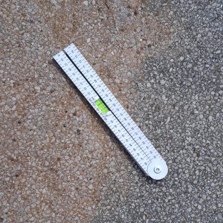
Measuring and Marking
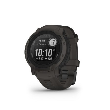
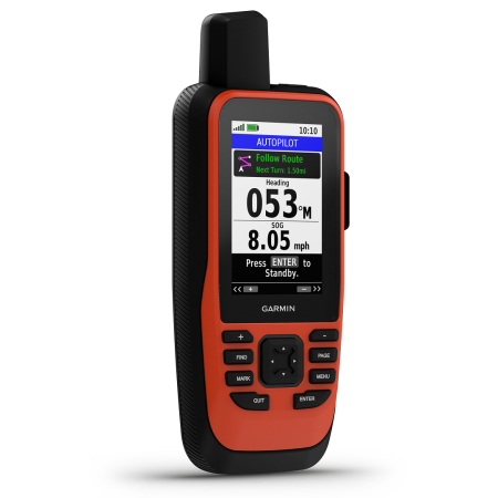
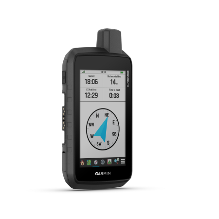
Exploration Tools and Equipment
what’s new
- UCP Core Trays and Solutions
- About Us
- Contact